Showing posts with label storybook map. Show all posts

Tuesday, February 16, 2016

Rainbow Caverns Mine Train Map


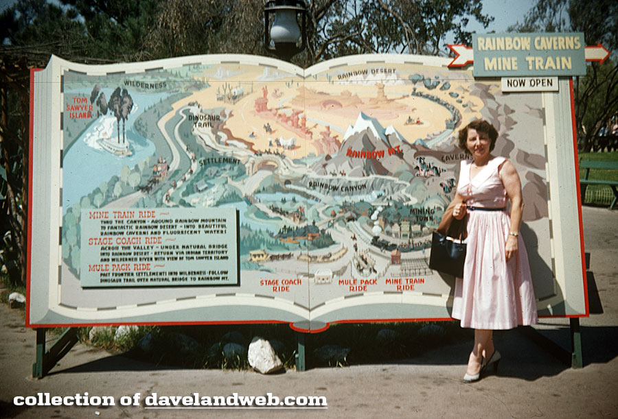
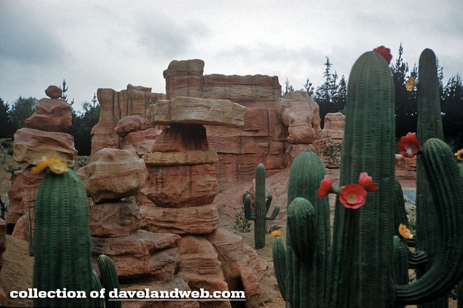
This undated vintage image showing the map of the Rainbow Caverns Mine Train is most likely from 1956. The lovely lady in pink seems very proud to be showing off all of the options you have for fun in Frontierland. This gives you an idea of what existed before Big Thunder Mountain arrived. Below is a June 1960 image showing the living desert scene visible from the Mine Train.


Travel back in time to see more Nature's Wonderland goodness at my main website.

Tuesday, October 13, 2015

Monstro's Storybook


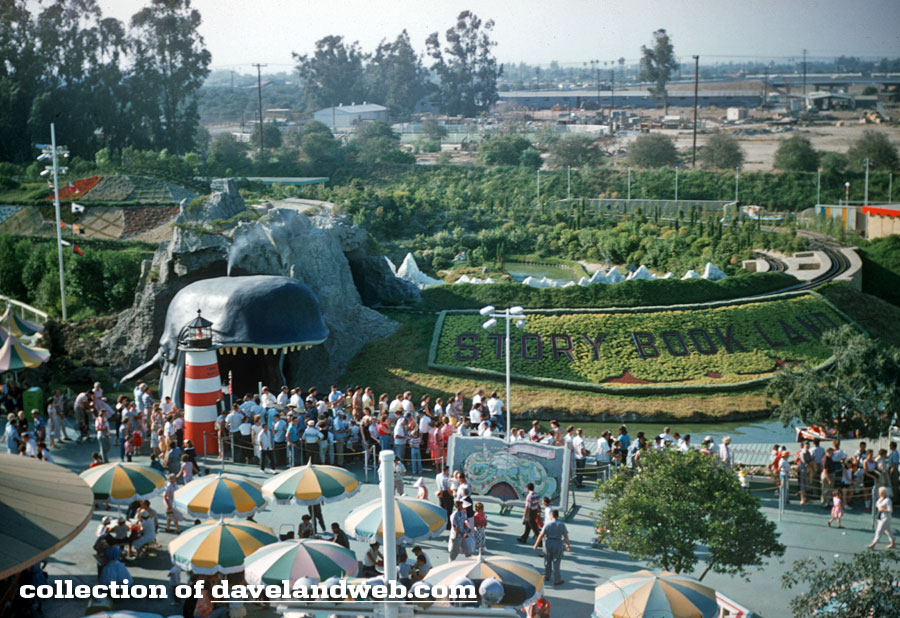
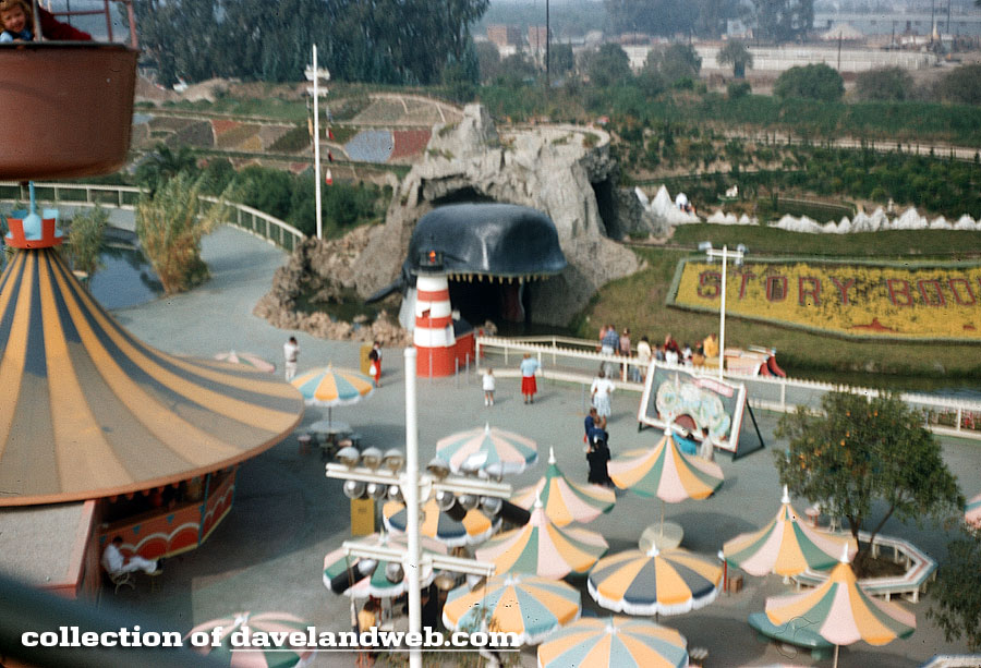
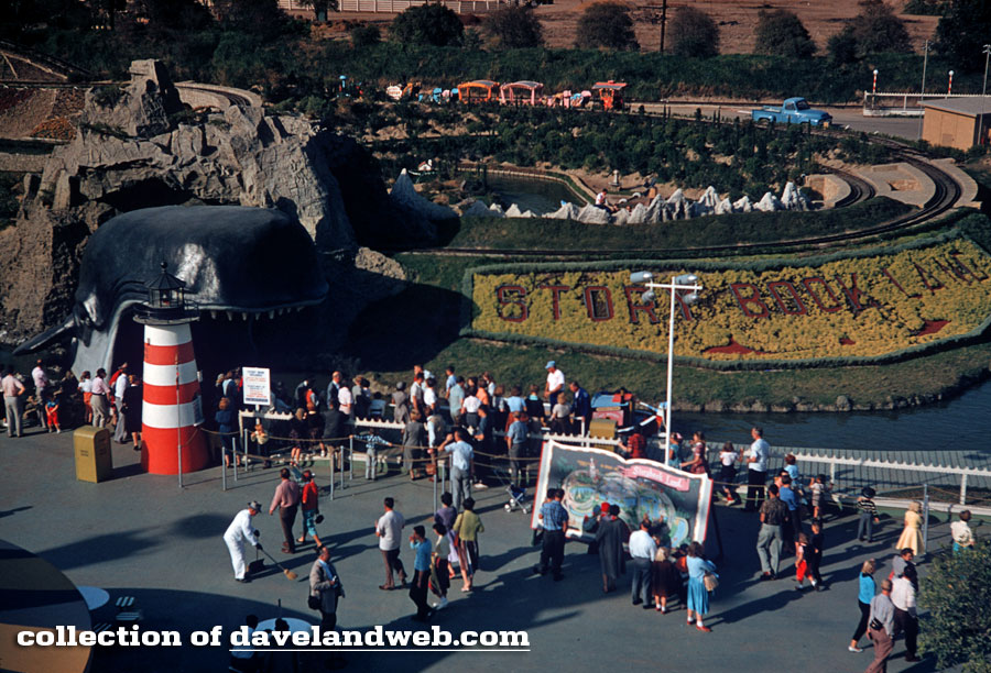
This undated 1950s shot taken from the Skyway shows Pinocchio's Monstro, the famous whale that serves as the entryway to Disneyland's famed Storybook Land attraction.

Zooming in, you can see the gigantic Storybook Land Map that advertised the attraction when it first opened.


Another aerial shot with a similar view:


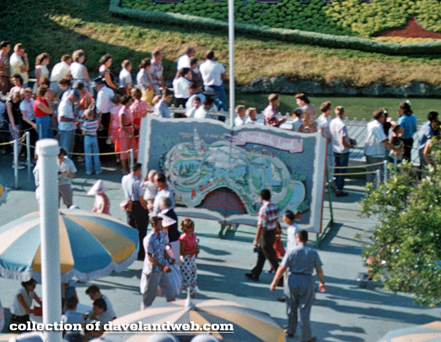
Here's a closeup of that great big beautiful Storybook; wonder what happened to it?


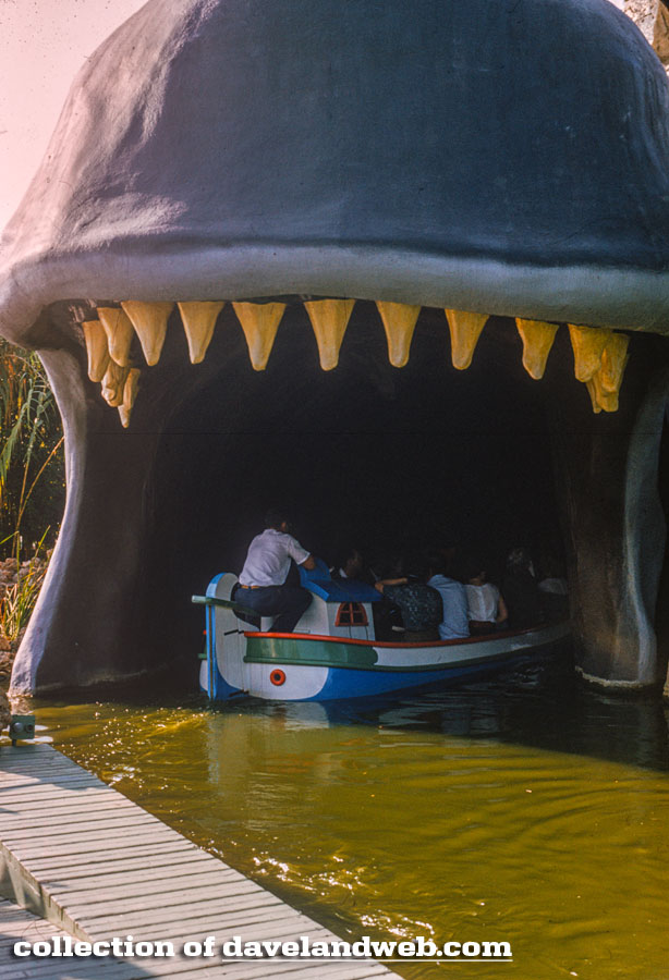
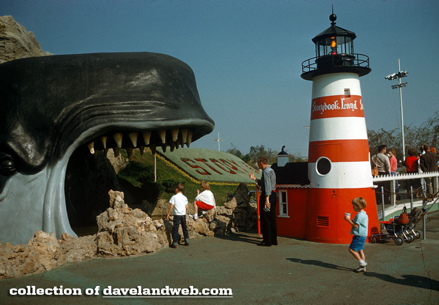
Back to Monstro…thanks to some funky lighting and vintage image fading, he looks like he needs a trip to the dentist.


From January 1959, Monstro's profile:


"To be, or not to be…that is the question."


See more Monstro, both vintage and contemporary, at my main website.

Wednesday, May 15, 2013

Vintage Frontierland Signage


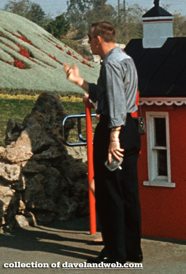
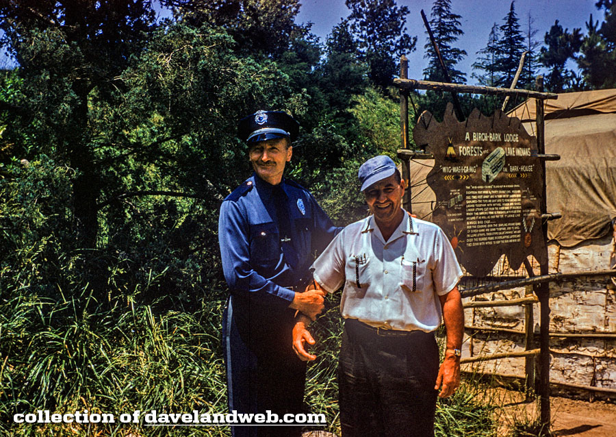
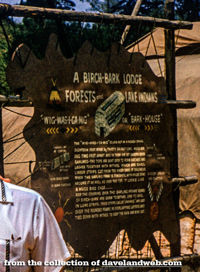
A few lesser-known signs of Frontierland are featured today, starting off with a January 1958 shot of the Birch-Bark Lodge signage. On a separate note...the security cop in Frontierland is a bit jarring.


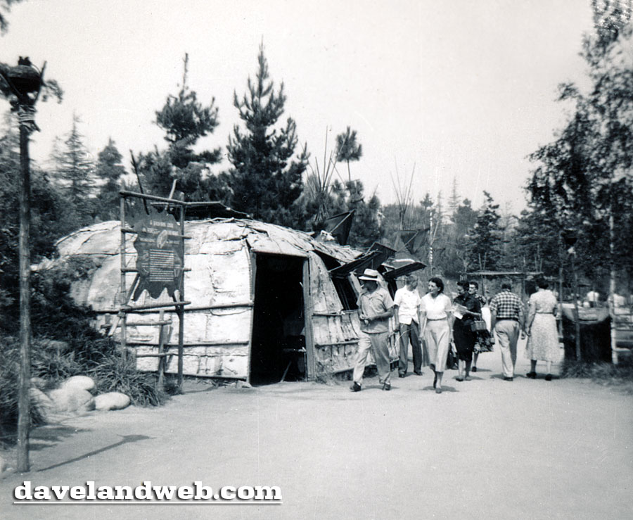
This Birch-Bark Lodge was one of the many authentic "exhibits" that guests at Disneyland could learn about in the Indian Village.


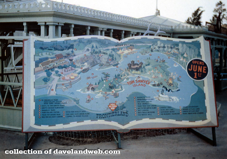
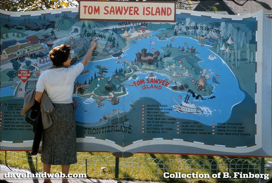
Here's another view of the 1956 Storybook-style map that heralded the upcoming Tom Sawyer Island:


If only the photographer had a steadier hand...


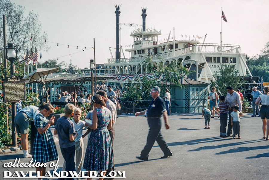
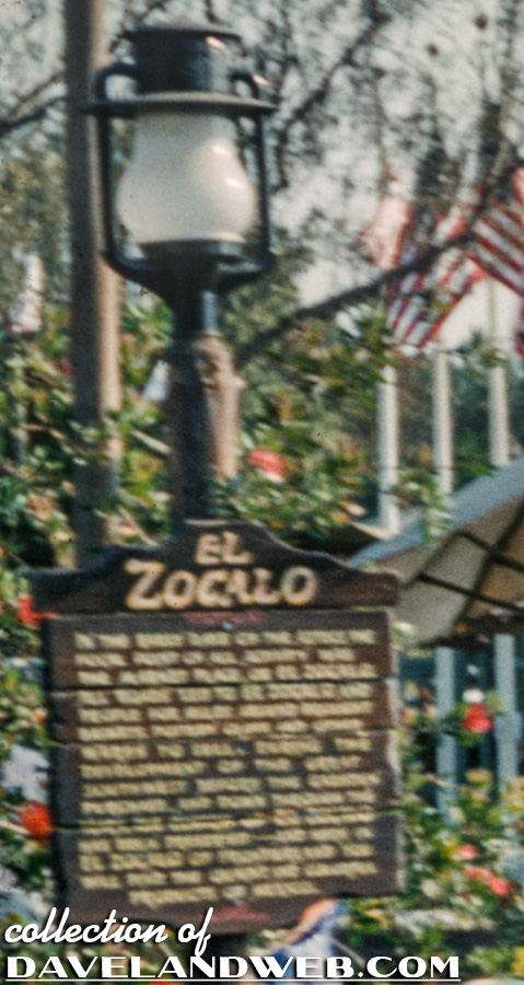
I can't even begin to read what is on this El Zocalo signage; anyone out there who can squint hard enough to decipher it?


See more vintage & current Disneyland photos on my Disneyland web pages.

Friday, March 08, 2013

Disneyland Storybook Maps


In this overhead Skyway shot of Storybook Land, you can see what appears to be a gigantic Storybook. This map of the attraction has always fascinated me, especially since good views of it are so rare. I love how it gives a very nice preview of the wonders that guests will experience on the attraction and tempts them to give it a whirl.

Here's another shot from 1956 that takes you a bit closer:
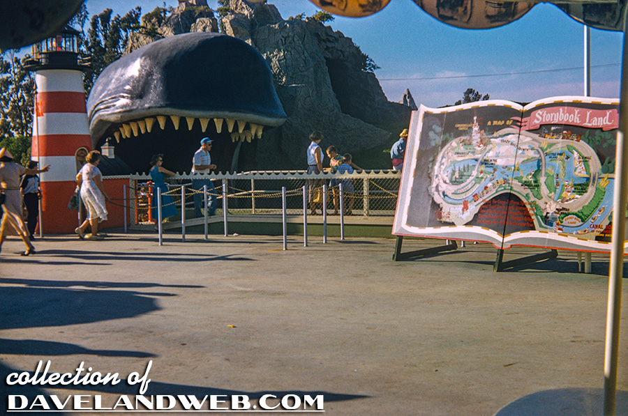


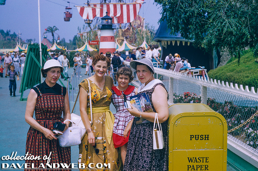
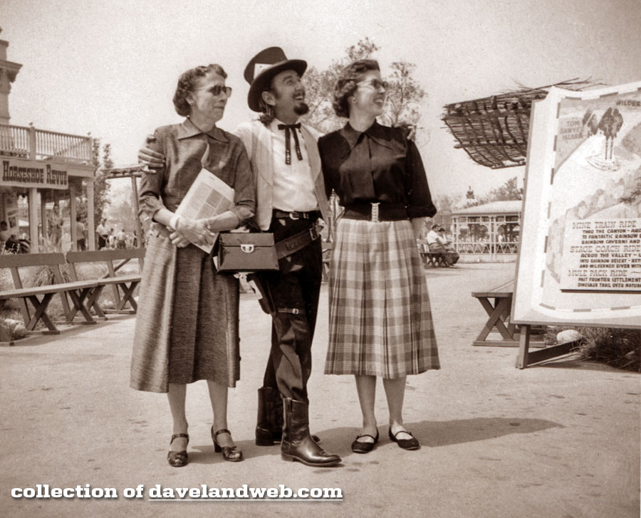
In this photo of a vintage quartet of gals, you can see the somewhat unglamorous backside of the map.


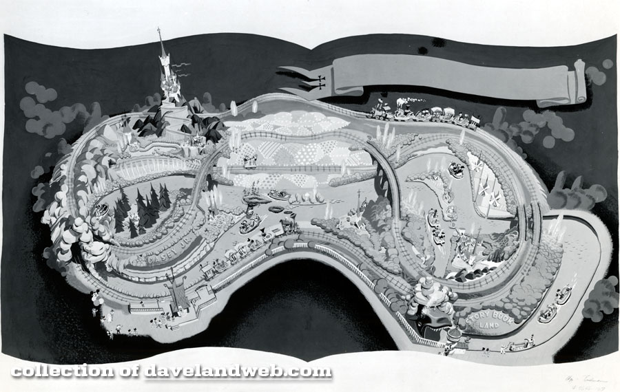
A few years back I managed to get a black and white photo of the original artwork, which left spaces for the lettering that would be added later.


Now, thanks to the generosity of Daveland reader B. Finberg, I am able to show a full color view of the map as it appeared in the park in 1956.
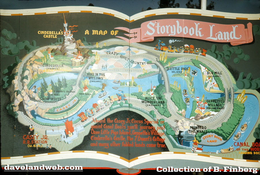


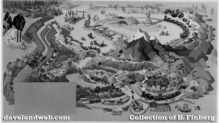
Based on my collection, it would appear that the Storybook-style attraction maps appeared in the park in 1956 but disappeared by 1958. Maps? You mean there were others? That's right! The next one is for the Nature's Wonderland attraction. Many years ago, Mr. Finberg sent me a photo of the black and white artwork (again, missing the lettering) of the map for Nature's Wonderland/Mine Train attraction:


He has pulled through again with a full-color photo of the map, which sat near the entrance of Frontierland.
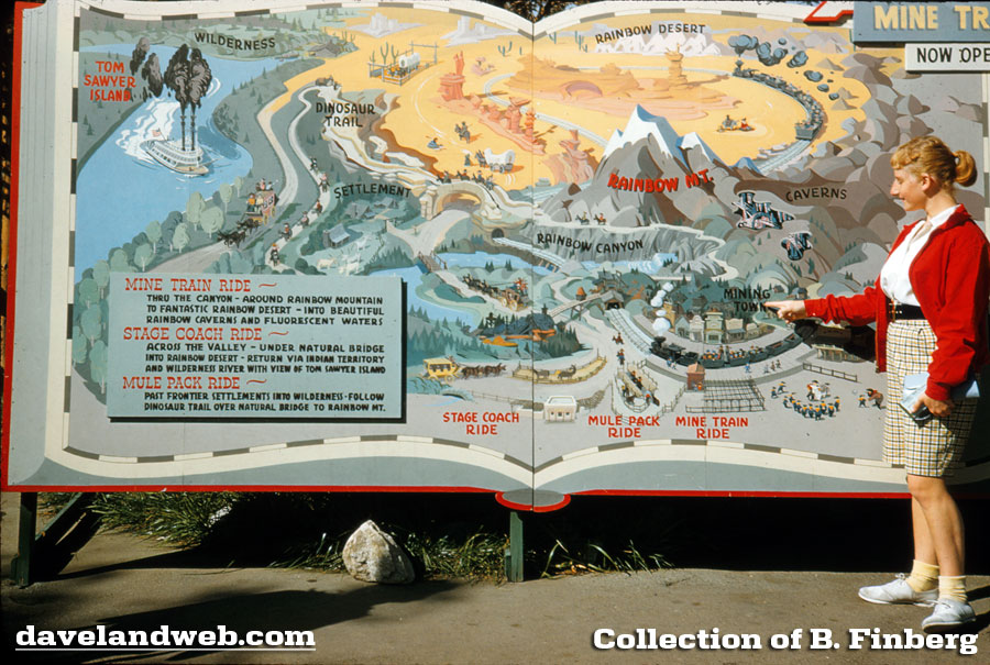


I know this because of the August 1956 Frontierland photo with a smiling Black Bart:


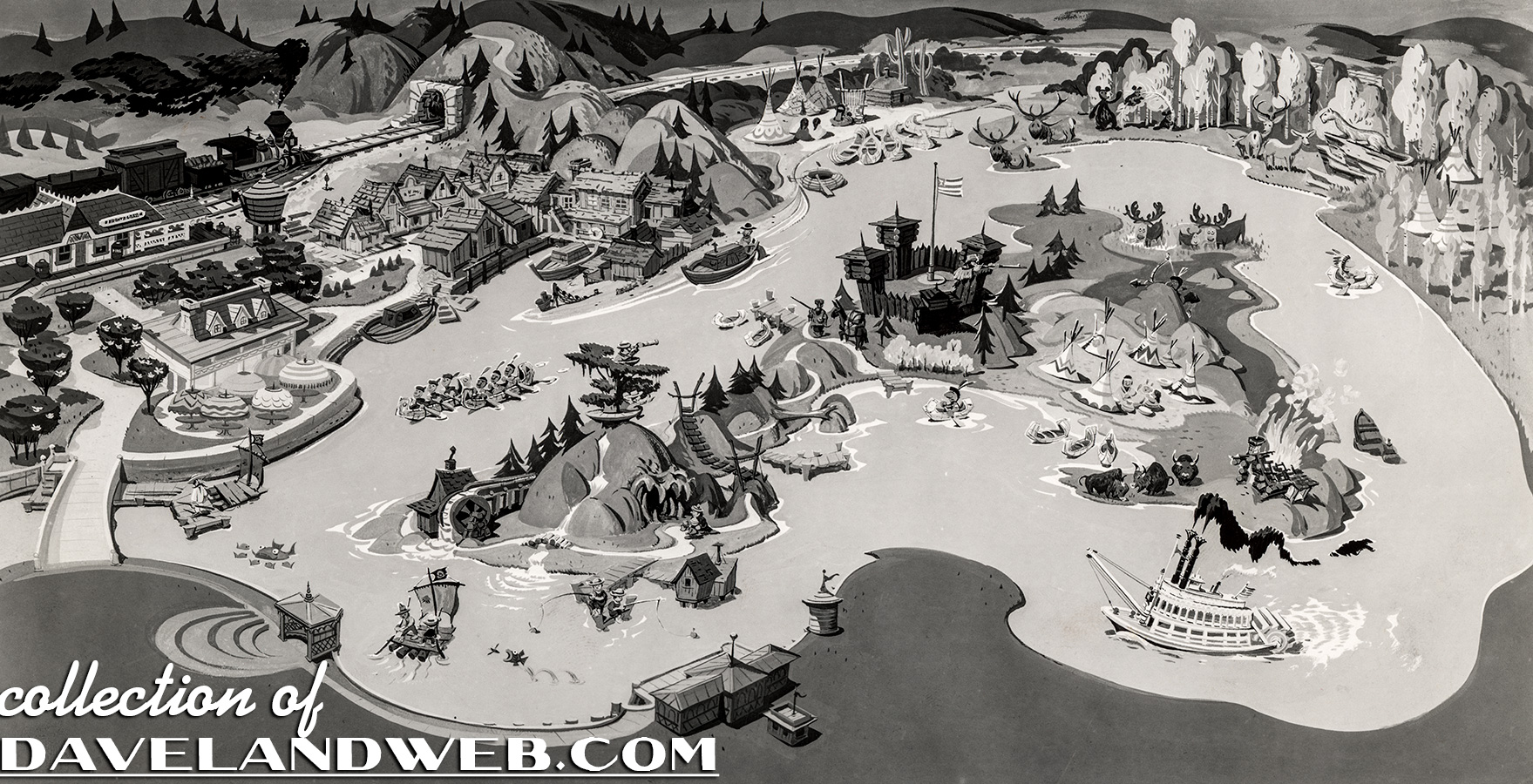
Moving on to Tom Sawyer Island, here's the black and white art for that map:


And the full color version. It would appear that this map sat near the Frontierland Depot:


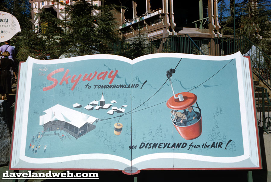
The last one (that I am aware of!) is the Storybook sign for The Skyway; although it doesn't really show a map of the attraction, it is done in the same style of the other three.


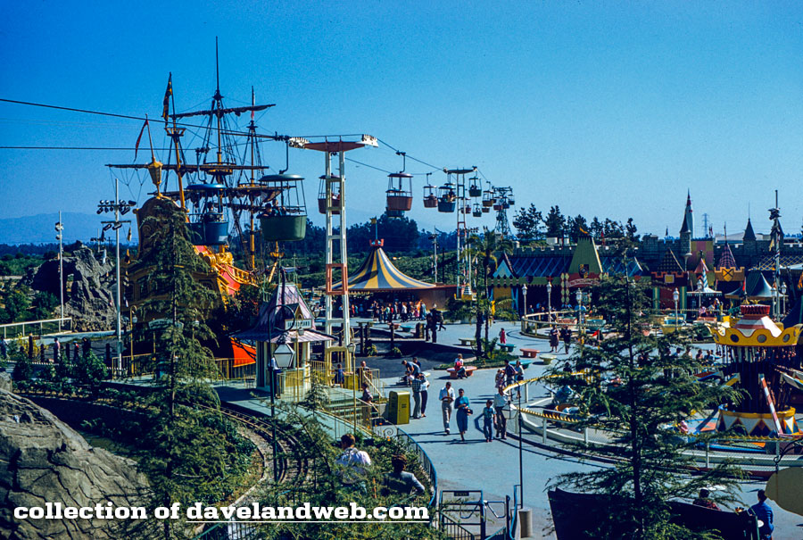
In this image, you can see the back of the sign:


See more vintage & current Disneyland photos on my Disneyland web pages.