
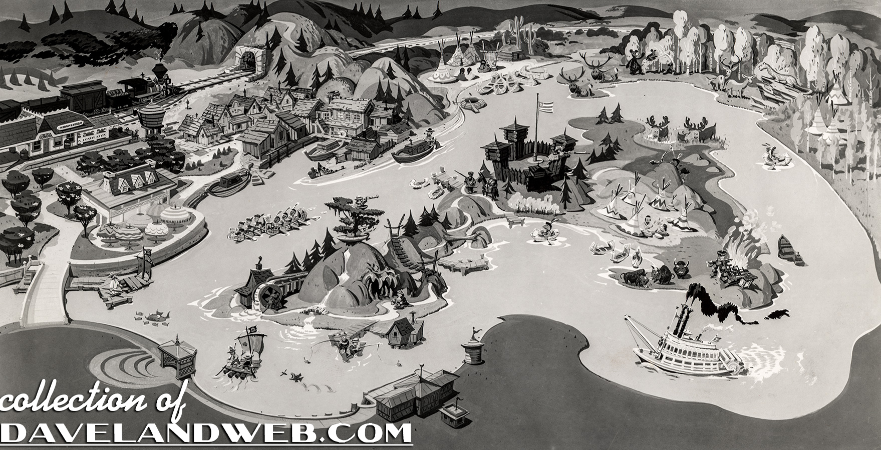
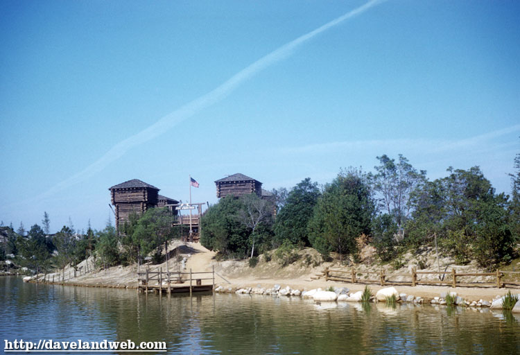
Next time you get lost on Tom Sawyer’s Island, or you’re not sure what direction to paddle your canoe on the Rivers of America, just consult this handy-dandy cartoon map and you’ll be in great shape. I’m not sure of the origin or the date of this piece, but it sure is cool. I would place it to be somewhere between 1955 & 1958 since there is no evidence of the Columbia. I also thought I’d include the real thing, too: here’s one of Fort Wilderness from the 1950’s.
To see more vintage & current Disneyland Rivers of America photos, go to my regular website, davelandweb.com.
3 comments:
The cartoon map is really nice...it was almost certainly originally painted in color. Wonder if it appeared in a Disney publication or on a piece of merchandise. It's pretty accurate (even though it is cartoony)...I like the idea of the cave on the island that looks like a gaping mouth!
I'm fascinated by all the buildings over by what is now the Columbia dock. Never seen photos of that...was that area really that built-up? What was in those buildings?
Greg - I don't think those were ever built. Just an idea that probably never came to fruition.
Post a Comment